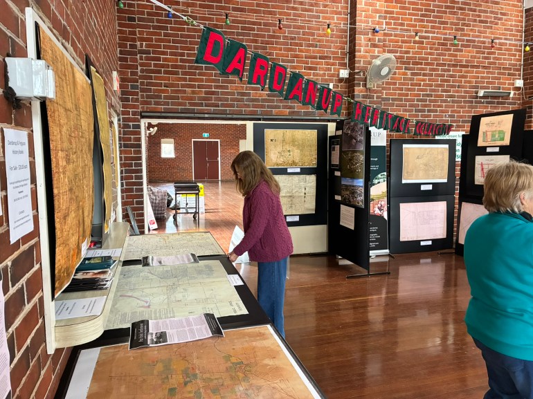
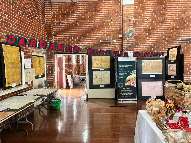
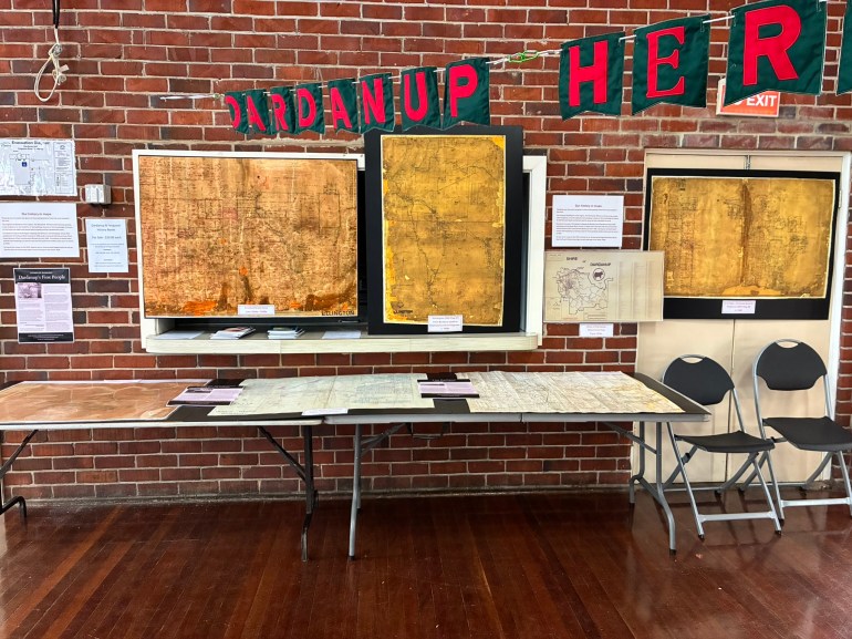
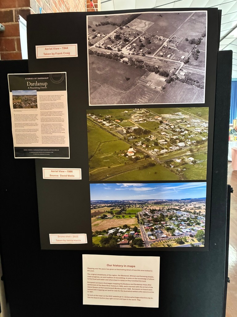
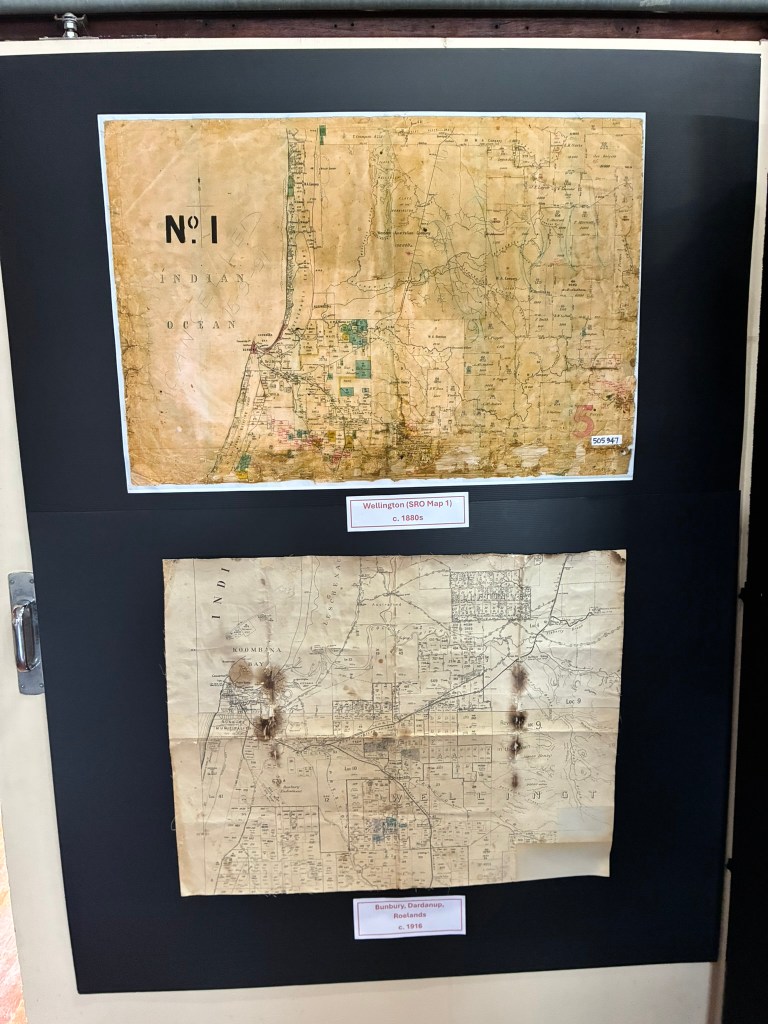
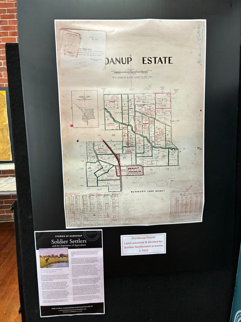
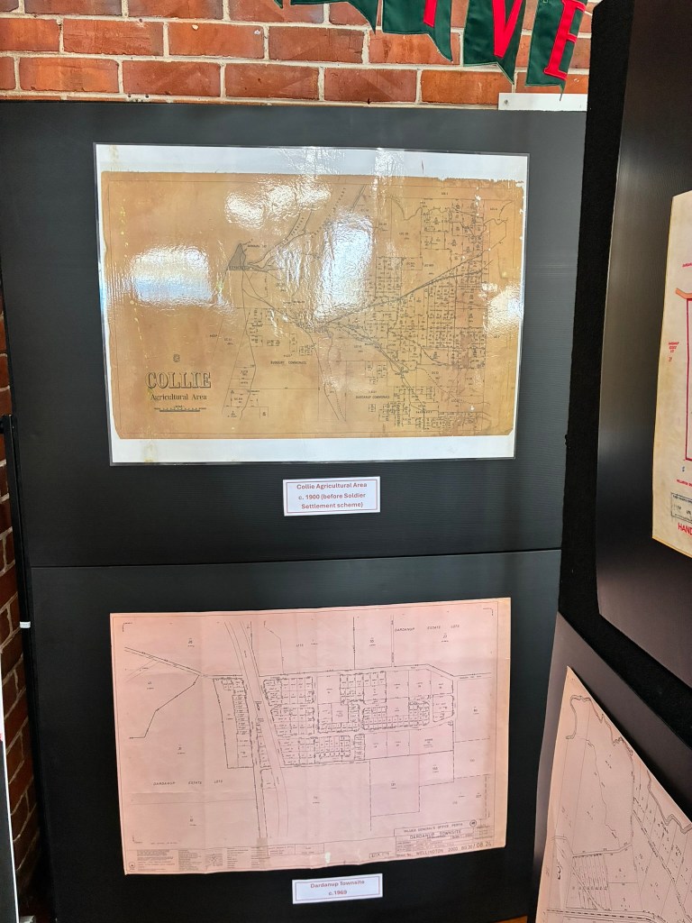
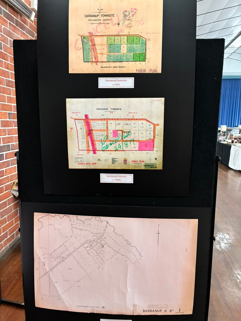
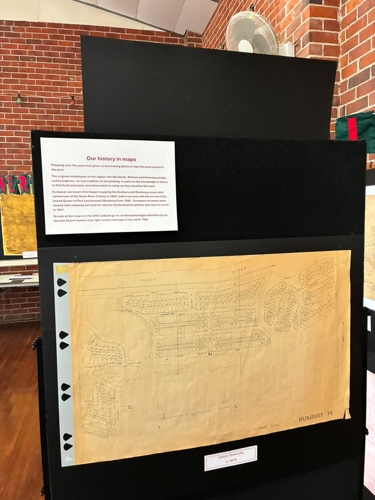
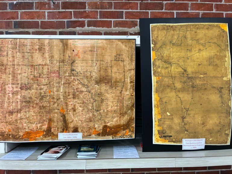
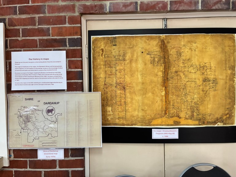
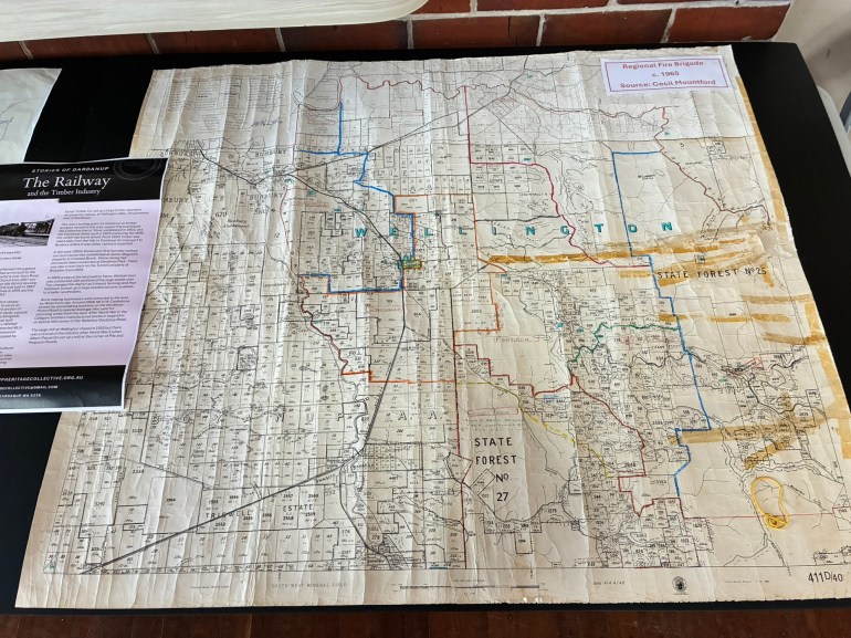
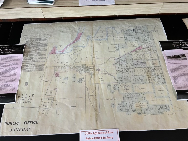
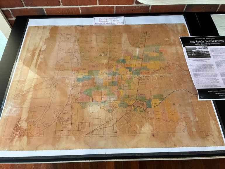
The Dardanup Heritage Collective displayed some of the maps it had collected over time at the 2026 Bull & Barrel Festival on 10 October. The display was made up of 15 boards with large maps (1850s – 1970s) from various sources, and three aerial photographs of Dardanup town. The maps proved popular with mums, dads, kids and grandparents spending time poring over them.
Mapping over the years has given us fascinating detail of how the area once looked.
The original inhabitants of the region, the Wardandi, Wilman and Kaneang people, used songlines, traditions of storytelling, dance and music, to pass on the knowledge of where to find food and water and where best to travel and camp. In other words, how best to navigate and survive in the area.
European surveyors first began mapping the Bunbury and Dardanup areas after settlement at the Swan River in 1829, and in earnest with the arrival of the Island Queen at Port Leschenault (Bunbury) from 1840. Surveyors on board were initially tasked with mapping out blocks of land for sale to Australind settlers who were to arrive in 1841.
Some of these early maps are linked from our website. Go link to the Maps page.
Use the arrows below to scroll through photos of the 2026 Maps Display: